2017
NT1910 : Track in Range Cleuch
taken 7 years ago, near to Range Cleuch [other Features], Scottish Borders, Great Britain
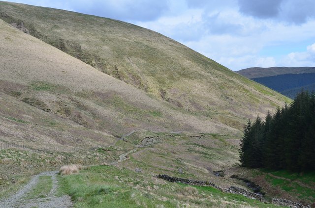
Track in Range Cleuch
The track descends between the steep hillside of Broadgair Hill and the plantation on Bushie Law.
 Map © Crown Copyright")
TIP: Click the map for more Large scale mapping
- Grid Square
- NT1910, 10 images (more nearby 🔍)
- Photographer
- Jim Barton (more nearby)
- Date Taken
- Tuesday, 23 May, 2017 (more nearby)
- Submitted
- Thursday, 25 May, 2017
- Subject Location
-
OSGB36:
 NT 192 107 [100m precision]
WGS84: 55:23.0587N 3:16.6039W - Camera Location
-
OSGB36: NT 190 109
- View Direction
- Southeast (about 135 degrees)