2017
SH7044 : Public footpath from Neuadd Ddu to Tan y Bryn
taken 7 years ago, near to Congl-y-Wal, Gwynedd, Wales
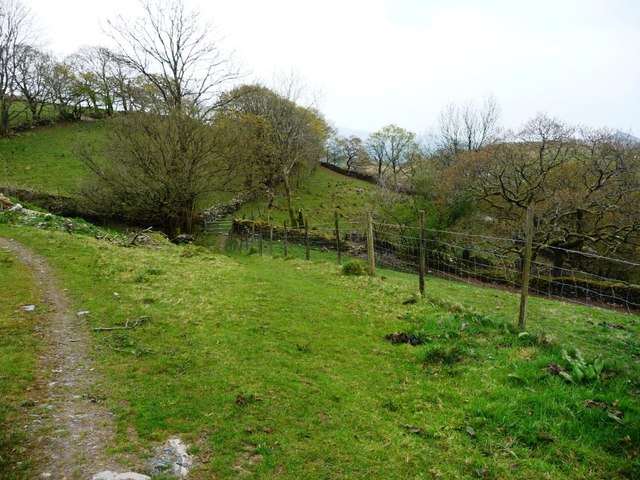
Public footpath from Neuadd Ddu to Tan y Bryn
There is a network of paths around Blaenau Ffestiniog, linking homes, schools, quarries and chapels. This one is part of the Ardal Cwm Bowydd Area circular walk, no. 5 in the town leaflet.
 Map © Crown Copyright")
TIP: Click the map for more Large scale mapping
- Grid Square
- SH7044, 39 images (more nearby 🔍)
- Photographer
- Christine Johnstone (more nearby)
- Date Taken
- Sunday, 30 April, 2017 (more nearby)
- Submitted
- Thursday, 25 May, 2017
- Subject Location
-
OSGB36:
 SH 7022 4464 [10m precision]
WGS84: 52:59.0003N 3:56.0746W - Camera Location
-
OSGB36: SH 7023 4469
- View Direction
- South-southwest (about 202 degrees)