2017
TQ2215 : Common Field
taken 7 years ago, near to Henfield, West Sussex, England
Common Field
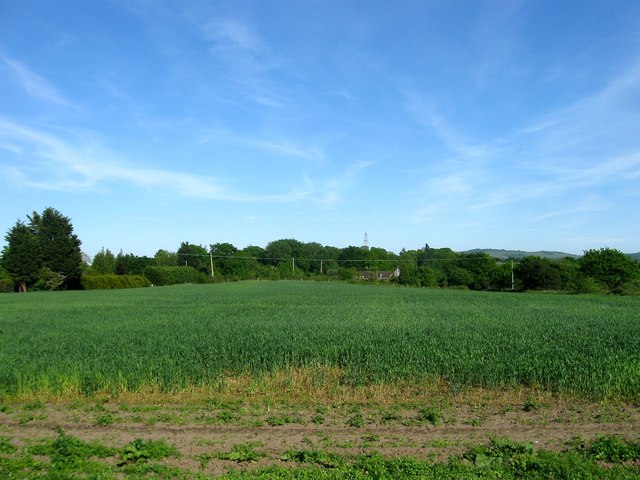
The name of the field according to Henfield's 1844 tithe map that is bounded by Henfield Common to the north, TQ2115 : East Mill Field to the west and TQ2215 : Orchard Field and TQ2115 : Nine Acres beyond TQ2215 : Henfield Common South to the south. The house in view in the distance is TQ2215 : Lydds House, Henfield Common South, Henfield named after the ridge which is locally known as The Lydds.
 Map © Crown Copyright")
TIP: Click the map for more Large scale mapping
- Grid Square
- TQ2215, 112 images (more nearby 🔍)
- Photographer
- Simon Carey (more nearby)
- Date Taken
- Sunday, 21 May, 2017 (more nearby)
- Submitted
- Saturday, 27 May, 2017
- Subject Location
-
OSGB36:
 TQ 2212 1535 [10m precision]
WGS84: 50:55.4814N 0:15.8295W - Camera Location
-
OSGB36: TQ 2200 1538
- View Direction
- East-southeast (about 112 degrees)