2017
TQ3473 : Dawson's Heights seen from Dawson's Hill
taken 7 years ago, near to Dulwich, Southwark, England
This is 1 of 3 images, with title starting with Dawson's in this square
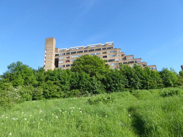
Dawson's Heights seen from Dawson's Hill
 Map © Crown Copyright")
TIP: Click the map for more Large scale mapping
- Grid Square
- TQ3473, 271 images (more nearby 🔍)
- Photographer
- Marathon (more nearby)
- Date Taken
- Sunday, 21 May, 2017 (more nearby)
- Submitted
- Sunday, 28 May, 2017
- Subject Location
-
OSGB36:
 TQ 3438 7382 [10m precision]
WGS84: 51:26.8459N 0:4.0580W - Camera Location
-
OSGB36: TQ 3434 7384
- View Direction
- East-southeast (about 112 degrees)