2017
ST4200 : Jubilee Trail near Laverstock Farm
taken 7 years ago, near to Pilsdon, Dorset, England
This is 1 of 2 images, with title Jubilee Trail near Laverstock Farm in this square
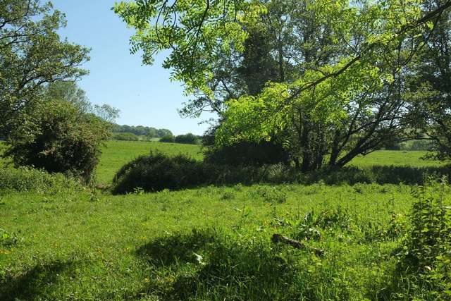
Jubilee Trail near Laverstock Farm
Taken from the last few metres of a tree-lined route with public access followed by the trail and by the parish boundary between Marshwood and Pilsdon. The trail crosses a small meadow on bridleway W43 41 and over the River Char into Stoke Abbott parish.
 Map © Crown Copyright")
TIP: Click the map for more Large scale mapping
- Grid Square
- ST4200, 23 images (more nearby 🔍)
- Photographer
- Derek Harper (more nearby)
- Date Taken
- Friday, 26 May, 2017 (more nearby)
- Submitted
- Tuesday, 30 May, 2017
- Subject Location
-
OSGB36:
 ST 4248 0002 [10m precision]
WGS84: 50:47.8125N 2:49.0511W - Camera Location
-
OSGB36: ST 4244 0001
- View Direction
- East-northeast (about 67 degrees)