2017
NM8091 : Overview of old shielings
taken 7 years ago, near to Swordland, Highland, Scotland
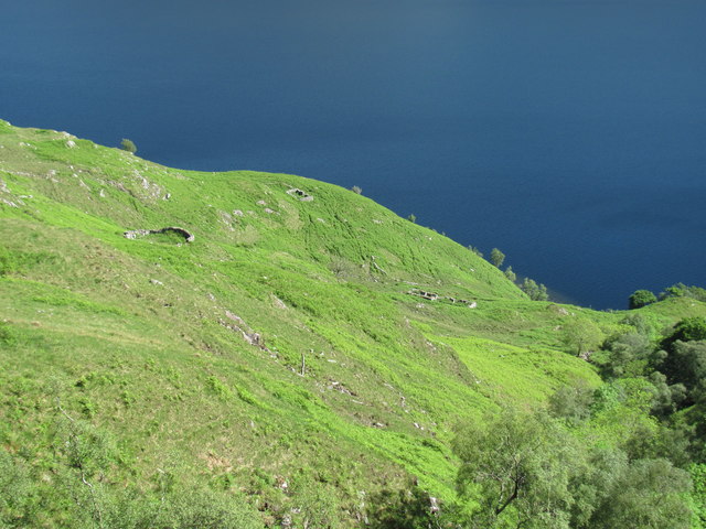
Overview of old shielings
This may have been a productive place for farming but the access was difficult. By land the going was very tough and arriving by water entailed a steep climb up the mountainside.
 Map © Crown Copyright")
TIP: Click the map for more Large scale mapping
- Grid Square
- NM8091, 7 images (more nearby 🔍)
- Photographer
- Graham Cole (more nearby)
- Date Taken
- Wednesday, 31 May, 2017 (more nearby)
- Submitted
- Thursday, 1 June, 2017
- Subject Location
-
OSGB36:
 NM 8077 9125 [10m precision]
WGS84: 56:57.6215N 5:36.4502W - Camera Location
-
OSGB36: NM 8062 9142
- View Direction
- Southeast (about 135 degrees)