2017
SD9619 : Quarry, Light Hazzles Edge
taken 7 years ago, near to Summit, Rochdale, England
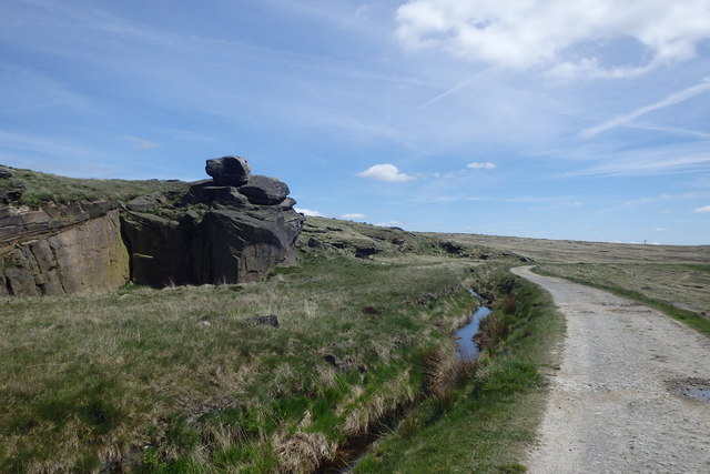
Quarry, Light Hazzles Edge
On the Pennine Way
 Map © Crown Copyright")
TIP: Click the map for more Large scale mapping
- Grid Square
- SD9619, 92 images (more nearby 🔍)
- Photographer
- Michael Graham (more nearby)
- Date Taken
- Tuesday, 23 May, 2017 (more nearby)
- Submitted
- Tuesday, 6 June, 2017
- Subject Location
-
OSGB36:
 SD 9632 1926 [10m precision]
WGS84: 53:40.1881N 2:3.4305W - Camera Location
-
OSGB36: SD 9628 1927
- View Direction
- East-southeast (about 112 degrees)