2017
SX6579 : Higher Merripit
taken 7 years ago, near to Postbridge, Devon, England
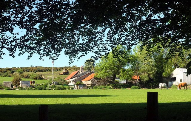
Higher Merripit
From the lane shown in SX6579 : Barn at Middle Merripit. Efforts are being made to improve the field behind the farm, which is mapped as rough grazing.
 Map © Crown Copyright")
TIP: Click the map for more Large scale mapping
- Grid Square
- SX6579, 41 images (more nearby 🔍)
- Photographer
- Derek Harper (more nearby)
- Date Taken
- Thursday, 1 June, 2017 (more nearby)
- Submitted
- Tuesday, 6 June, 2017
- Subject Location
-
OSGB36:
 SX 6533 7959 [10m precision]
WGS84: 50:36.0270N 3:54.2570W - Camera Location
-
OSGB36: SX 6529 7949
- View Direction
- North-northeast (about 22 degrees)