2017
NM6468 : Faodhail Bhàn crossing
taken 7 years ago, near to Kentra, Highland, Scotland
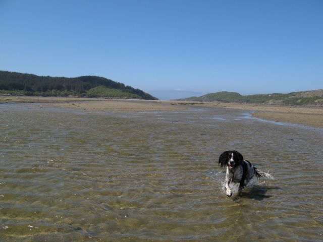
Faodhail Bhàn crossing
Fording the shallow river that runs out down the centre of the bay collecting the various freshwater inputs..
 Map © Crown Copyright")
TIP: Click the map for more Large scale mapping
- Grid Square
- NM6468, 9 images (more nearby 🔍)
- Photographer
- Jonathan Wilkins (more nearby)
- Date Taken
- Tuesday, 9 May, 2017 (more nearby)
- Submitted
- Tuesday, 6 June, 2017
- Subject Location
-
OSGB36:
 NM 6437 6860 [10m precision]
WGS84: 56:44.9572N 5:51.3365W - Camera Location
-
OSGB36: NM 6445 6853
- View Direction
- Northwest (about 315 degrees)