2017
NT2286 : Distillery Ruins
taken 7 years ago, near to Burntisland, Fife, Scotland
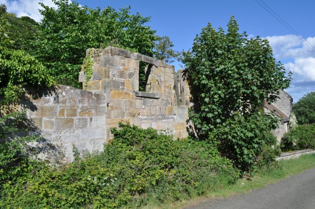
Distillery Ruins
Remains of Grange Distillery which stood here from 1786 to its closure in 1927.
 Map © Crown Copyright")
TIP: Click the map for more Large scale mapping
- Grid Square
- NT2286, 29 images (more nearby 🔍)
- Photographer
- Robert Struthers (more nearby)
- Date Taken
- Sunday, 4 June, 2017 (more nearby)
- Submitted
- Wednesday, 7 June, 2017
- Subject Location
-
OSGB36:
 NT 2267 8662 [10m precision]
WGS84: 56:3.9684N 3:14.6164W - Camera Location
-
OSGB36: NT 2261 8663
- View Direction
- EAST (about 90 degrees)