2017
TL3544 : Crop field near Kneesworth
taken 7 years ago, near to Dyer's Green, Cambridgeshire, England
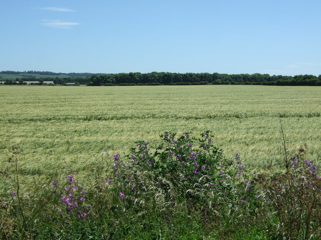
Crop field near Kneesworth
Off Kneesworth Road.
 Map © Crown Copyright")
TIP: Click the map for more Large scale mapping
- Grid Square
- TL3544, 8 images (more nearby 🔍)
- Photographer
- JThomas (more nearby)
- Date Taken
- Saturday, 10 June, 2017 (more nearby)
- Submitted
- Monday, 12 June, 2017
- Subject Location
-
OSGB36:
 TL 355 446 [100m precision]
WGS84: 52:5.0177N 0:1.4355W - Camera Location
-
OSGB36: TL 354 448
- View Direction
- South-southeast (about 157 degrees)