SU1497 : RAF Fairford crash gate
taken 7 years ago, near to Dunfield, Gloucestershire, England
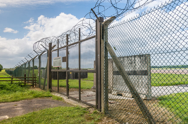
RAF Fairford was constructed in 1944 as a base for the D-Day landings in Normandy. After the end of The Second World War, and the onset of the Cold War, it was one of a number of bases made available for use by the USAF Strategic Air Command. As a consequence in 1950 it was transferred to the USAF who extended the runway to 3000m in length, enabling it to be used by their largest bombers. The long runway meant that it was also used as the UK test centre for Concorde and was also a designated landing emergency landing base for the Space Shuttle.
It served as a USAF base for various campaigns, but ceased its formal role in 1990, after which it was maintained on a standby basis. Nevertheless it continues its use as a forward base for large USAF bombers operating further east, including NATO operations in the former Yugoslavia in the 1990s and more recently in Iraq and Afghanistan. As a result it plays frequent host to B52 Stratofortresses and B1 Lancers as well as some visits from U2 Dragon Lady spy planes and B2 Stealth bombers.
The base hosts the anneal Royal International Air Tattoo, one of the world's largest military airshows.
 Map © Crown Copyright")
- Grid Square
- SU1497, 17 images (more nearby 🔍)
- Photographer
- Ian Capper (more nearby)
- Date Taken
- Sunday, 11 June, 2017 (more nearby)
- Submitted
- Sunday, 18 June, 2017
- Subject Location
-
OSGB36:
 SU 145 979 [100m precision]
WGS84: 51:40.8076N 1:47.4193W - Camera Location
-
OSGB36: SU 146 979
- View Direction
- WEST (about 270 degrees)