2017
SW9870 : Field by Hawke's Wood
taken 7 years ago, near to Burlawn, Cornwall, England
This is 1 of 2 images, with title Field by Hawke's Wood in this square
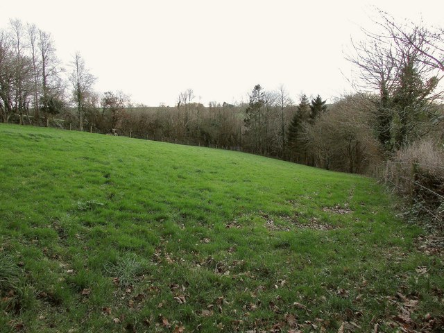
Field by Hawke's Wood
From the stretch of lane shown in SW9870 : Lane to Treneague. This field seems to have been improved considerably since the satellite image visible at the time of submission.
 Map © Crown Copyright")
TIP: Click the map for more Large scale mapping
- Grid Square
- SW9870, 5 images (more nearby 🔍)
- Photographer
- Derek Harper (more nearby)
- Date Taken
- Tuesday, 24 January, 2017 (more nearby)
- Submitted
- Sunday, 18 June, 2017
- Subject Location
-
OSGB36:
 SW 9890 7082 [10m precision]
WGS84: 50:30.1539N 4:50.2317W - Camera Location
-
OSGB36: SW 9892 7087
- View Direction
- South-southwest (about 202 degrees)