SK3447 : George Street, looking down from Green Lane
taken 7 years ago, near to Belper, Derbyshire, England
From the late 18th century onwards the Strutts developed housing in the area to the east of their textile mill on the River Derwent.
A variety of types of house were provided.
The earliest, and the smallest, are the terraces of Short Row, Mill Street (formerly Hedge Row) and Field Row, dating from around 1790. There are of brick construction
The next stage appears to have been the long terrace on the north side of Long Row (later broken by the railway) dating from the late 1790s. These are larger houses, rising to 3 storeys, built of local stone with slate roofs. A feature of these houses is that the house plans interlock, resulting in alternating wider and narrowing frontages. Of similar date and style is Crown Terrace, off Bridge Street, although here the houses do not interlock.
The terraced houses on the south side are slightly later, and built of brick. They have a much more traditional layout.
The final development from the early period, c.1803, consists of the so-called 'Cluster' houses, situated between what are now named William, George, and Joseph Streets, after the three sons of Jedediah Strutt who started the mills. These are blocks of four houses stone-built in a quartered layout, each with a substantial plot of ground and a pigsty and apparently intended for mill foremen and managers. Eight clusters were intended, but only five were built. Most of them have been extended in the 20th century as the original accommodation is quite limited by modern standards.
The Cluster house was developed by Bage of Shrewsbury and was widely copied in other countries. The Belper examples are thought to be the earliest remaining examples.
All these groups are Listed Grade II.
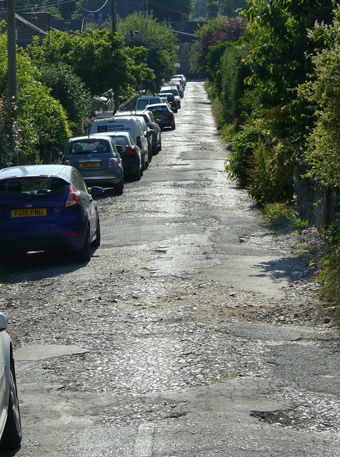
Although there has been some later infill development, the area remains remarkably original. The streets remain unadopted, so do not present a modern 'sanitised' appearance. In particular, Long Row retains its original stone paving of large sandstone setts.
 Map © Crown Copyright")
- Grid Square
- SK3447, 371 images (more nearby 🔍)
- Photographer
- Alan Murray-Rust (more nearby)
- Date Taken
- Saturday, 17 June, 2017 (more nearby)
- Submitted
- Tuesday, 20 June, 2017
- Subject Location
-
OSGB36:
 SK 3484 4781 [10m precision]
WGS84: 53:1.5871N 1:28.9201W - Camera Location
-
OSGB36: SK 3491 4782
- View Direction
- WEST (about 270 degrees)