2017
SX1177 : Treswallock Downs
taken 7 years ago, near to Churchtown, Cornwall, England
This is 1 of 4 images, with title Treswallock Downs in this square
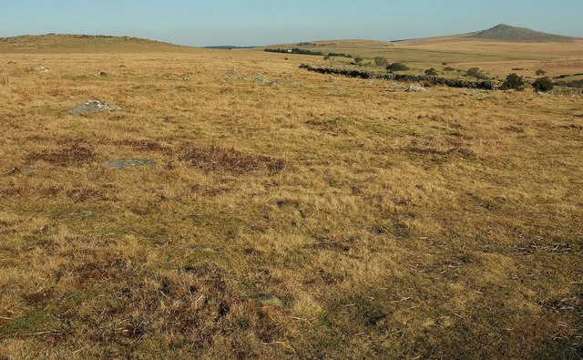
Treswallock Downs
Looking left from where SX1177 : Lane to Candra was taken, with overlap involving Rough Tor in the distance.
 Map © Crown Copyright")
TIP: Click the map for more Large scale mapping
- Grid Square
- SX1177, 10 images (more nearby 🔍)
- Photographer
- Derek Harper (more nearby)
- Date Taken
- Wednesday, 25 January, 2017 (more nearby)
- Submitted
- Wednesday, 21 June, 2017
- Subject Location
-
OSGB36:
 SX 1176 7799 [10m precision]
WGS84: 50:34.2751N 4:39.5811W - Camera Location
-
OSGB36: SX 1170 7789
- View Direction
- North-northeast (about 22 degrees)