2017
SK1266 : Pennine Bridleway
taken 7 years ago, near to Flagg, Derbyshire, England
This is 1 of 2 images, with title Pennine Bridleway in this square
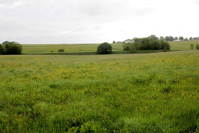
Pennine Bridleway
The bridleway runs along an old railway track and its line is marked by the trees, bushes and old railway embankment.
 Map © Crown Copyright")
TIP: Click the map for more Large scale mapping
- Grid Square
- SK1266, 66 images (more nearby 🔍)
- Photographer
- Nigel Mykura (more nearby)
- Date Taken
- Saturday, 10 June, 2017 (more nearby)
- Submitted
- Friday, 23 June, 2017
- Subject Location
-
OSGB36:
 SK 1234 6660 [10m precision]
WGS84: 53:11.7804N 1:49.0048W - Camera Location
-
OSGB36: SK 1215 6651
- View Direction
- East-northeast (about 67 degrees)