2017
TM0268 : Byway north of Cutting Hole
taken 7 years ago, near to Wyverstone Street, Suffolk, England
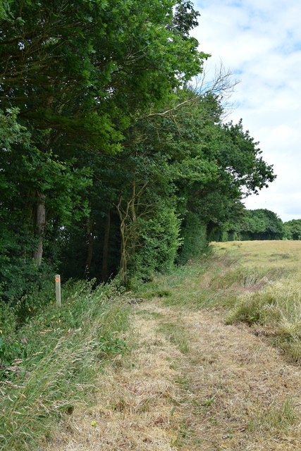
Byway north of Cutting Hole
At this point the byway leaves the open field edge and continues as a tree-
enclosed "lane" within the boundary hedge
enclosed "lane" within the boundary hedge
 Map © Crown Copyright")
TIP: Click the map for more Large scale mapping
- Grid Square
- TM0268, 6 images (more nearby 🔍)
- Photographer
- John Myers (more nearby)
- Date Taken
- Sunday, 25 June, 2017 (more nearby)
- Submitted
- Monday, 26 June, 2017
- Subject Location
-
OSGB36:
 TM 0229 6849 [10m precision]
WGS84: 52:16.6393N 0:57.8306E - Camera Location
-
OSGB36: TM 0229 6847
- View Direction
- North-northwest (about 337 degrees)