2017
ST1438 : Footpath below the top of Black Hill
taken 7 years ago, near to Crowcombe, Somerset, England
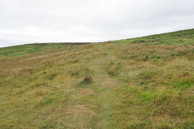
Footpath below the top of Black Hill
There is a maze of paths on this hilltop area. Hurley Beacon is on the skyline to the left.
 Map © Crown Copyright")
TIP: Click the map for more Large scale mapping
- Grid Square
- ST1438, 60 images (more nearby 🔍)
- Photographer
- Bill Boaden (more nearby)
- Date Taken
- Sunday, 25 June, 2017 (more nearby)
- Submitted
- Tuesday, 27 June, 2017
- Subject Location
-
OSGB36:
 ST 1452 3805 [10m precision]
WGS84: 51:8.1191N 3:13.3867W - Camera Location
-
OSGB36: ST 1453 3803
- View Direction
- Northwest (about 315 degrees)