2017
NJ3105 : Cairn and boundary marker on Scraulac
taken 7 years ago, 3 km from Tornahaish, Aberdeenshire, Scotland
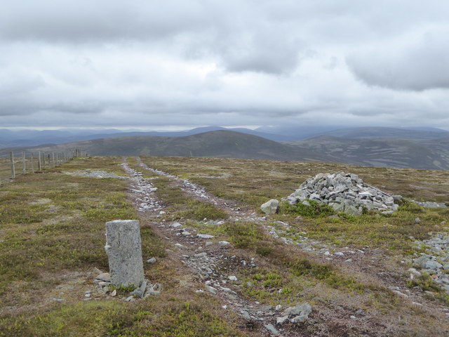
Cairn and boundary marker on Scraulac
Scraulac derives from the Gaelic 'sgrathalach' - the rough place.
 Map © Crown Copyright")
TIP: Click the map for more Large scale mapping
- Grid Square
- NJ3105, 5 images (more nearby 🔍)
- Photographer
- Alan O'Dowd (more nearby)
- Date Taken
- Wednesday, 28 June, 2017 (more nearby)
- Submitted
- Tuesday, 4 July, 2017
- Subject Location
-
OSGB36:
 NJ 314 055 [100m precision]
WGS84: 57:8.1645N 3:8.0819W - Camera Location
-
OSGB36: NJ 314 056
- View Direction
- Southwest (about 225 degrees)