2017
TQ4652 : London Countryway in Kent (215)
taken 7 years ago, near to Brasted Chart, Kent, England
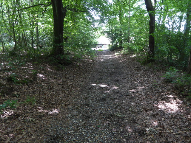
London Countryway in Kent (215)
This public footpath heads west towards a driveway.
 Map © Crown Copyright")
TIP: Click the map for more Large scale mapping
- Grid Square
- TQ4652, 66 images (more nearby 🔍)
- Photographer
- Shazz (more nearby)
- Date Taken
- Saturday, 1 July, 2017 (more nearby)
- Submitted
- Monday, 10 July, 2017
- Subject Location
-
OSGB36:
 TQ 4695 5248 [10m precision]
WGS84: 51:15.1536N 0:6.2593E - Camera Location
-
OSGB36: TQ 46981 52479
- View Direction
- WEST (about 270 degrees)