2017
TA0239 : Trees lining Newbald Rd
taken 7 years ago, near to Beverley, East Riding of Yorkshire, England
This is 1 of 2 images, with title Trees lining Newbald Rd in this square
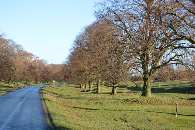
Trees lining Newbald Rd
The Westwood is one of four pastures that are found on the edge of Beverley. The Westwood is now mainly open grassland and woodland. There is a golf course and racecourse on the Westwood.
The wellbeing of the pastures is overseen by the Pasture Masters, a group of men elected from the Freemen of Beverley each March. Although the Pasture Act of 1836 clarified the right of the Pasture Masters to administer and enforce their bylaws, it did not state who owned the land. In 1978 the courts decided that the pastures were owned by the then Borough Council; it is now owned by the East Riding of Yorkshire Council.
See other images of Westwood Pasture, Beverley
 Map © Crown Copyright")
TIP: Click the map for more Large scale mapping
- Grid Square
- TA0239, 400 images (more nearby 🔍)
- Photographer
- N Chadwick (more nearby)
- Date Taken
- Monday, 2 January, 2017 (more nearby)
- Submitted
- Monday, 10 July, 2017
- Subject Location
-
OSGB36:
 TA 0214 3956 [10m precision]
WGS84: 53:50.5352N 0:26.9474W - Camera Location
-
OSGB36: TA 0212 3955
- View Direction
- East-northeast (about 67 degrees)