2017
TA0339 : Toll Gavel
taken 7 years ago, near to Beverley, East Riding of Yorkshire, England
This is 1 of 4 images, with title Toll Gavel in this square
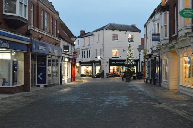
Toll Gavel
The Beverley 20 is a walk in the East Riding of Yorkshire that runs between Beverley Minster and the Humber Bridge that pass through the local villages of Skidby and North Ferriby. It also clips the edge of Walkington.
The section from the Humber Bridge to North Ferriby is used by the Yorkshire Wolds Way, High Hunsley Circuit and the Trans Pennine Trail.
The Beverley 20 is the first stage of a four-part walk from The Humber Bridge to Filey, The East Riding Heritage Trail.
See other images of Beverley 20
The section from the Humber Bridge to North Ferriby is used by the Yorkshire Wolds Way, High Hunsley Circuit and the Trans Pennine Trail.
The Beverley 20 is the first stage of a four-part walk from The Humber Bridge to Filey, The East Riding Heritage Trail.
See other images of Beverley 20
 Map © Crown Copyright")
TIP: Click the map for more Large scale mapping
- Grid Square
- TA0339, 3149 images (more nearby 🔍)
- Photographer
- N Chadwick (more nearby)
- Date Taken
- Sunday, 1 January, 2017 (more nearby)
- Submitted
- Tuesday, 11 July, 2017
- Subject Location
-
OSGB36:
 TA 0342 3951 [10m precision]
WGS84: 53:50.4931N 0:25.7817W - Camera Location
-
OSGB36: TA 0340 3953
- View Direction
- East-southeast (about 112 degrees)