2017
SX5156 : Below the A38
taken 7 years ago, 3 km from Crownhill, Plymouth, England
This is 1 of 5 images, with title Below the A38 in this square
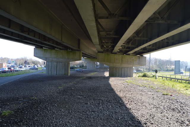
Below the A38
The A38 is also known as the Devon Expressway. It runs 292 miles from Bodmin to Mansfield, across the South West and Midlands. Primary places visited include Liskeard, Plymouth, Exeter, Taunton, Bridgwater, Bristol, Gloucester, Worcester, Bromsgrove, Birmingham, Lichfield, Burton upon Trent and Derby.
Wikipedia: Link
See other images of A38 Road
Wikipedia: Link
See other images of A38 Road
 Map © Crown Copyright")
TIP: Click the map for more Large scale mapping
- Grid Square
- SX5156, 179 images (more nearby 🔍)
- Photographer
- N Chadwick (more nearby)
- Date Taken
- Sunday, 12 February, 2017 (more nearby)
- Submitted
- Tuesday, 11 July, 2017
- Subject Location
-
OSGB36:
 SX 5169 5671 [10m precision]
WGS84: 50:23.4911N 4:5.2681W - Camera Location
-
OSGB36: SX 5167 5673
- View Direction
- Southeast (about 135 degrees)