2017
TQ1887 : Capital Ring, Fryent Country Park
taken 7 years ago, near to Kingsbury, Brent, England
This is 1 of 2 images, with title Capital Ring, Fryent Country Park in this square
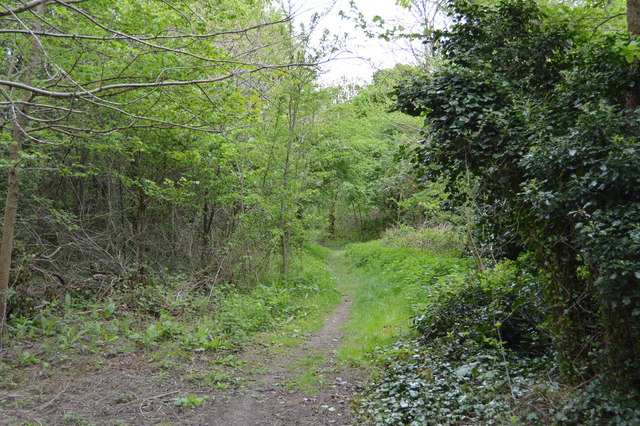
Capital Ring, Fryent Country Park
Fryent Country Park :: TQ1987
Fryent Country Park together with Barn Hill Open Space is a large park situated in the north of Brent. It covers 103 hectares of rolling fields and small woods.
The woodland comprises oak, hornbeam, elm, ash and fruit trees.
Barn Hill rises to 86m.
Capital Ring
The Capital Ring is a surprisingly green route that encircles London. Distance is 78miles; it threads together parks and open spaces, mostly following pleasant residential roads in between. The route is an initiative of the London Walking Forum. The route is very well signed, with a Big Ben logo TQ1678 : Three walk logos, Gallows Bridge. The route is a walkers equivalent of the North and South Circular roads. Link

 Map © Crown Copyright")
TIP: Click the map for more Large scale mapping
- Grid Square
- TQ1887, 151 images (more nearby 🔍)
- Photographer
- N Chadwick (more nearby)
- Date Taken
- Thursday, 13 April, 2017 (more nearby)
- Submitted
- Wednesday, 12 July, 2017
- Subject Location
-
OSGB36:
 TQ 1882 8769 [10m precision]
WGS84: 51:34.5338N 0:17.2057W - Camera Location
-
OSGB36: TQ 1881 8767
- View Direction
- Northeast (about 45 degrees)