2017
SH9319 : Fenceline below Mynydd Coch
taken 7 years ago, 3 km from Llanymawddwy, Gwynedd, Wales
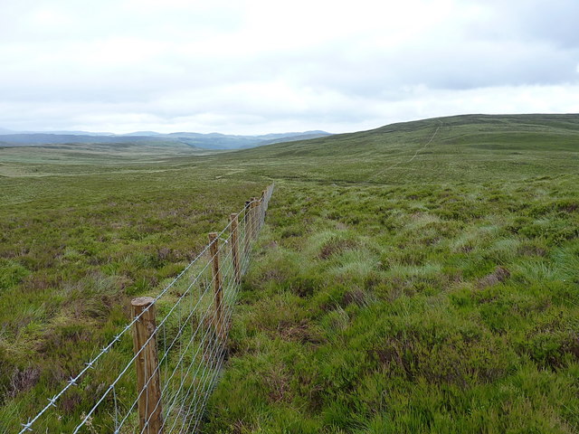
Fenceline below Mynydd Coch
A new fence running across the moor between Carreg y Bîg and Mynydd Coch.
 Map © Crown Copyright")
TIP: Click the map for more Large scale mapping
- Grid Square
- SH9319, 7 images (more nearby 🔍)
- Photographer
- Richard Law (more nearby)
- Date Taken
- Tuesday, 4 July, 2017 (more nearby)
- Submitted
- Wednesday, 12 July, 2017
- Subject Location
-
OSGB36:
 SH 9318 1986 [10m precision]
WGS84: 52:45.9444N 3:35.0759W - Camera Location
-
OSGB36: SH 93041 19840
- View Direction
- EAST (about 90 degrees)