ST9261 : Canal east of Bowerhill
taken 7 years ago, near to Bowerhill, Wiltshire, England
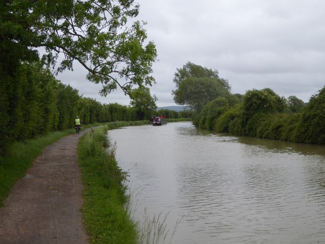
The Kennet and Avon is made up of two river navigations and a linking stretch of canal. It runs from Hanham Lock near Bristol to the River Thames at Reading, over 100 miles long with more than 100 locks, some magnificent engineering and crossing some of the most beautiful scenery in southern England. It was only reopened in 1990 after decades of dereliction.
The National Cycle Network is a network of cycle routes. It was created by the charity Sustrans Link
(Sustainable Transport), aided by a National Lottery grant.
Many routes aim to minimise contact with motor traffic, though 70% of them are on roads. In some cases the NCN uses pedestrian routes, disused railways, minor roads, canal towpaths, or traffic-calmed routes in towns and cities.
 Map © Crown Copyright")
- Grid Square
- ST9261, 23 images (more nearby 🔍)
- Photographer
- David Smith (more nearby)
- Date Taken
- Thursday, 8 June, 2017 (more nearby)
- Submitted
- Wednesday, 12 July, 2017
- Subject Location
-
OSGB36:
 ST 9235 6145 [10m precision]
WGS84: 51:21.1244N 2:6.6743W - Camera Location
-
OSGB36: ST 9232 6145
- View Direction
- EAST (about 90 degrees)