2017
ND0220 : Rocks above the Allt Bad na Muislich, Sutherland
taken 7 years ago, 4 km SW of Aultibea, Highland, Scotland
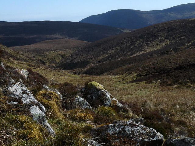
Rocks above the Allt Bad na Muislich, Sutherland
The Allt Bad na Muislich rises between Cnoc na Maoile and Cnoc na Saobhaidhe and flows into the Caen Burn.
 Map © Crown Copyright")
TIP: Click the map for more Large scale mapping
- Grid Square
- ND0220, 2 images (more nearby 🔍)
- Photographer
- Claire Pegrum (more nearby)
- Date Taken
- Saturday, 6 May, 2017 (more nearby)
- Submitted
- Wednesday, 12 July, 2017
- Subject Location
-
OSGB36:
 ND 02111 20541 [1m precision]
WGS84: 58:9.7716N 3:39.9224W - Camera Location
-
OSGB36: ND 02111 20541
- View Direction
- SOUTH (about 180 degrees)