2017
SE2234 : Richardshaw Lane (B6155) linking Pudsey with Stanningley
taken 7 years ago, near to Farsley, Leeds, England
This is 1 of 3 images, with title starting with Richardshaw Lane in this square
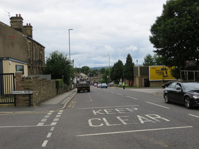
Richardshaw Lane (B6155) linking Pudsey with Stanningley
Looking north-westward towards Stanningley.
 Map © Crown Copyright")
TIP: Click the map for more Large scale mapping
- Grid Square
- SE2234, 442 images (more nearby 🔍)
- Photographer
- Peter Wood (more nearby)
- Date Taken
- Friday, 14 July, 2017 (more nearby)
- Submitted
- Saturday, 15 July, 2017
- Subject Location
-
OSGB36:
 SE 22090 34151 [1m precision]
WGS84: 53:48.1916N 1:39.9644W - Camera Location
-
OSGB36: SE 22103 34127
- View Direction
- North-northwest (about 337 degrees)