2017
SS7348 : East Lyn River
taken 7 years ago, near to Countisbury, Devon, England
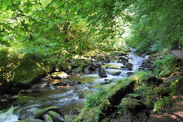
East Lyn River
A lively river as it follows a rocky course at the bottom of a deep wooded valley.
 Map © Crown Copyright")
TIP: Click the map for more Large scale mapping
- Grid Square
- SS7348, 31 images (more nearby 🔍)
- Photographer
- Bill Boaden (more nearby)
- Date Taken
- Thursday, 6 July, 2017 (more nearby)
- Submitted
- Saturday, 15 July, 2017
- Subject Location
-
OSGB36:
 SS 7396 4874 [10m precision]
WGS84: 51:13.4338N 3:48.3788W - Camera Location
-
OSGB36: SS 7393 4873
- View Direction
- East-northeast (about 67 degrees)