1980
NN1241 : Meall Cruidh
taken 44 years ago, 4 km SSE of Gualachulain, Highland, Scotland
This is 1 of 3 images, with title Meall Cruidh in this square
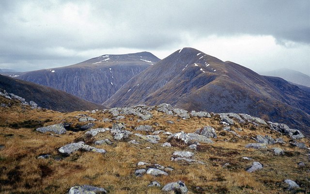
Meall Cruidh
Glas Bheinn Mhòr and Stob Coir' an Albannaich beyond.
 Map © Crown Copyright")
TIP: Click the map for more Large scale mapping
- Grid Square
- NN1241, 11 images (more nearby 🔍)
- Photographer
- Alan Reid (more nearby)
- Date Taken
- Wednesday, 7 May, 1980 (more nearby)
- Submitted
- Tuesday, 18 July, 2017
- Subject Location
-
OSGB36:
 NN 1295 4165 [10m precision]
WGS84: 56:31.7727N 5:2.5756W - Camera Location
-
OSGB36: NN 1289 4160
- View Direction
- Northeast (about 45 degrees)