2017
SU1356 : Field next to the A345
taken 7 years ago, near to Manningford Bohune, Wiltshire, England
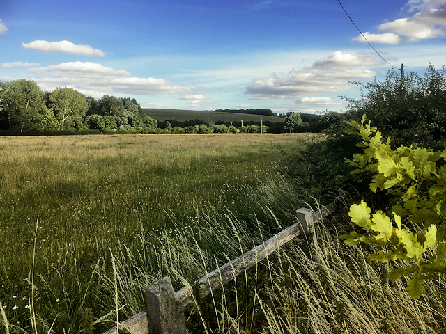
Field next to the A345
 Map © Crown Copyright")
TIP: Click the map for more Large scale mapping
- Grid Square
- SU1356, 16 images (more nearby 🔍)
- Photographer
- David Dixon (more nearby)
- Date Taken
- Friday, 14 July, 2017 (more nearby)
- Submitted
- Tuesday, 18 July, 2017
- Subject Location
-
OSGB36:
 SU 133 569 [100m precision]
WGS84: 51:18.6960N 1:48.6083W - Camera Location
-
OSGB36: SU 132 569
- View Direction
- East-northeast (about 67 degrees)