2017
TQ0069 : Fields around Whitehall Farm
taken 7 years ago, near to Virginia Water, Surrey, England
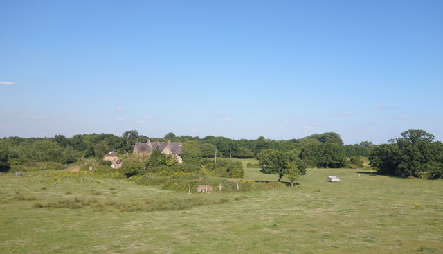
Fields around Whitehall Farm
This place has been derelict for years. An old ruined house and few rustic looking fields in the heart of commuter land. Given the house and land prices round here, I wonder what the story is.
 Map © Crown Copyright")
TIP: Click the map for more Large scale mapping
- Grid Square
- TQ0069, 46 images (more nearby 🔍)
- Photographer
- Des Blenkinsopp (more nearby)
- Date Taken
- Wednesday, 5 July, 2017 (more nearby)
- Submitted
- Wednesday, 19 July, 2017
- Subject Location
-
OSGB36:
 TQ 0038 6935 [10m precision]
WGS84: 51:24.8576N 0:33.4783W - Camera Location
-
OSGB36: TQ 0024 6941
- View Direction
- East-southeast (about 112 degrees)