2017
TQ2187 : Capital Ring
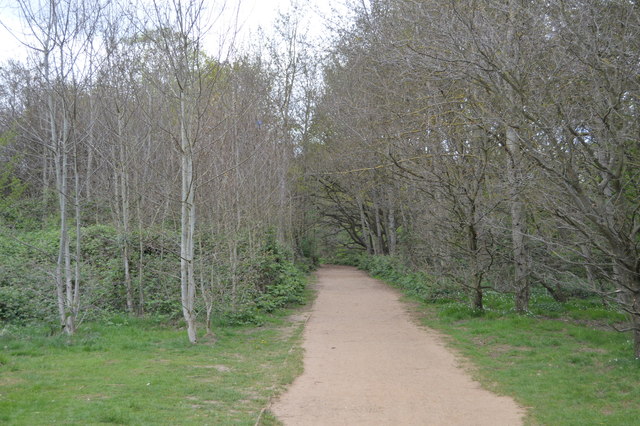
taken 7 years ago, near to Hendon, Barnet, England
This is 1 of 4 images, with title Capital Ring in this square
Capital Ring
The Capital Ring is a surprisingly green route that encircles London. Distance is 78miles; it threads together parks and open spaces, mostly following pleasant residential roads in between. The route is an initiative of the London Walking Forum. The route is very well signed, with a Big Ben logo TQ1678 : Three walk logos, Gallows Bridge. The route is a walkers equivalent of the North and South Circular roads. Link
See other images of Capital Ring
See other images of Capital Ring
 Map © Crown Copyright")
TIP: Click the map for more Large scale mapping
- Grid Square
- TQ2187, 479 images (more nearby 🔍)
- Photographer
- N Chadwick (more nearby)
- Date Taken
- Thursday, 13 April, 2017 (more nearby)
- Submitted
- Wednesday, 19 July, 2017
- Subject Location
-
OSGB36:
 TQ 2135 8709 [10m precision]
WGS84: 51:34.1779N 0:15.0286W - Camera Location
-
OSGB36: TQ 2133 8707
- View Direction
- Northeast (about 45 degrees)