2017
TF4735 : Across the southern part of the Wash at low tide: aerial 2017
taken 7 years ago, near to Main End [other Features], Lincolnshire, Great Britain
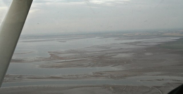
Across the southern part of the Wash at low tide: aerial 2017
All the sand banks have names - Mare tail, Old South, Blue Back, Puff, Gat Sand, Seal Sand, Breast Sand...
See other images of Wash Sandbanks
 Map © Crown Copyright")
TIP: Click the map for more Large scale mapping
- Grid Square
- TF4735 (more nearby 🔍)
- Photographer
- Chris (more nearby)
- Date Taken
- Monday, 17 July, 2017 (more nearby)
- Submitted
- Wednesday, 19 July, 2017
- Subject Location
-
OSGB36:
 TF 475 352 [100m precision]
WGS84: 52:53.6883N 0:11.5423E - Camera Location
-
OSGB36: TF 396 407
- View Direction
- Southeast (about 135 degrees)