2017
SD9914 : Moorland above the Way Stone
taken 7 years ago, 4 km NNE of Denshaw, Oldham, England
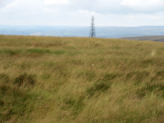
Moorland above the Way Stone
Windy Hill transmitter on the horizon.
 Map © Crown Copyright")
TIP: Click the map for more Large scale mapping
- Grid Square
- SD9914, 27 images (more nearby 🔍)
- Photographer
- John H Darch (more nearby)
- Date Taken
- Saturday, 22 July, 2017 (more nearby)
- Submitted
- Saturday, 22 July, 2017
- Subject Location
-
OSGB36:
 SD 998 140 [100m precision]
WGS84: 53:37.3846N 2:0.2699W - Camera Location
-
OSGB36: SD 998 140
- View Direction
- West-northwest (about 292 degrees)