2017
TL4100 : Rugged Lane
taken 7 years ago, near to Upshire, Essex, England
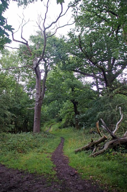
Rugged Lane
This track leads to Horseshoe Hill in Upshire.
 Map © Crown Copyright")
TIP: Click the map for more Large scale mapping
- Grid Square
- TL4100, 31 images (more nearby 🔍)
- Photographer
- Glyn Baker (more nearby)
- Date Taken
- Sunday, 23 July, 2017 (more nearby)
- Submitted
- Sunday, 23 July, 2017
- Subject Location
-
OSGB36:
 TL 4150 0074 [10m precision]
WGS84: 51:41.2556N 0:2.7352E - Camera Location
-
OSGB36: TL 4148 0068
- View Direction
- North-northeast (about 22 degrees)