2017
J6146 : Bar Hall Bay from the NT path
taken 7 years ago, 4 km SE of Strangford, Co Down, Northern Ireland
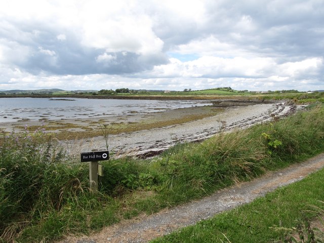
Bar Hall Bay from the NT path
Extensive tracts of the Strangford Lough coastline is administered by the National Trust.
Loading map... (JavaScript required)
- Grid Square
- J6146, 47 images (more nearby 🔍)
- Photographer
- Eric Jones (more nearby)
- Date Taken
- Thursday, 20 July, 2017 (more nearby)
- Submitted
- Monday, 24 July, 2017
- Subject Location
-
Irish:
 J 619 465 [100m precision]
WGS84: 54:20.5009N 5:30.6660W - Camera Location
-
Irish: J 619 465
- View Direction
- West-northwest (about 292 degrees)