2017
SD9518 : Overflow channel from Solomon Clough, Chelburn Moor
taken 7 years ago, near to Summit, Rochdale, England
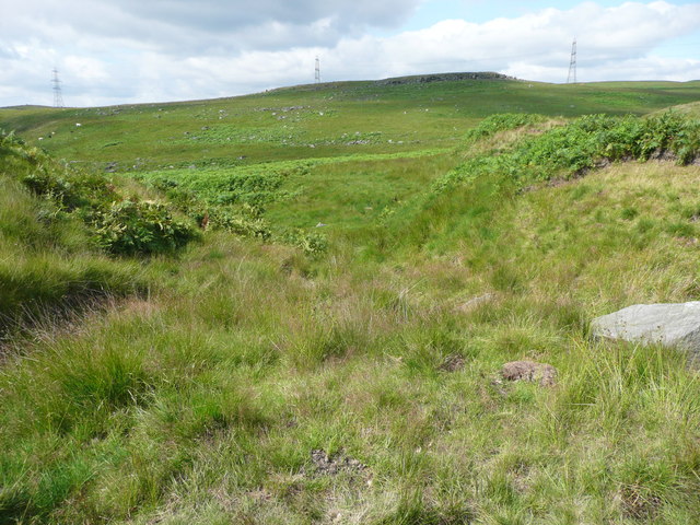
Overflow channel from Solomon Clough, Chelburn Moor
This does not look to have carried flow very often. It drops down into the valley to Light Hazzles Clough, now called the River Roch.
Solomon Cutting, Chelburn Moor, Littleborough :: SD9519
This water channel diverts Light Hazzles Clough across a low ridge to Higher Chelburn Reservoir. It was constructed before 1850, when the reservoir supplied water to the summit pound of the Rochdale Canal.
On the ridge there is a pond with a weir on the channel going forward to the reservoir and a higher weir on an overflow channel that drops back down to Light Hazzles Clough, now called the River Roch despite its small size.
Approaching the reservoir there is another overflow controlled by a stop board, which in July 2017 is diverting all flow to the watercourse downstream of the reservoir. Then there is a storage pond with a weir at the outlet, and the channel finally plunges steeply down to the reservoir.
Who was Solomon?
 Map © Crown Copyright")
TIP: Click the map for more Large scale mapping
- Grid Square
- SD9518, 50 images (more nearby 🔍)
- Photographer
- Humphrey Bolton (more nearby)
- Date Taken
- Monday, 24 July, 2017 (more nearby)
- Submitted
- Wednesday, 26 July, 2017
- Subject Location
-
OSGB36:
 SD 9530 1896 [10m precision]
WGS84: 53:40.0258N 2:4.3565W - Camera Location
-
OSGB36: SD 9530 1896
- View Direction
- NORTH (about 0 degrees)