2017
TQ0373 : River Colne, Staines Moor
taken 7 years ago, near to Hythe End, Windsor And Maidenhead, England
This is 1 of 6 images, with title River Colne, Staines Moor in this square
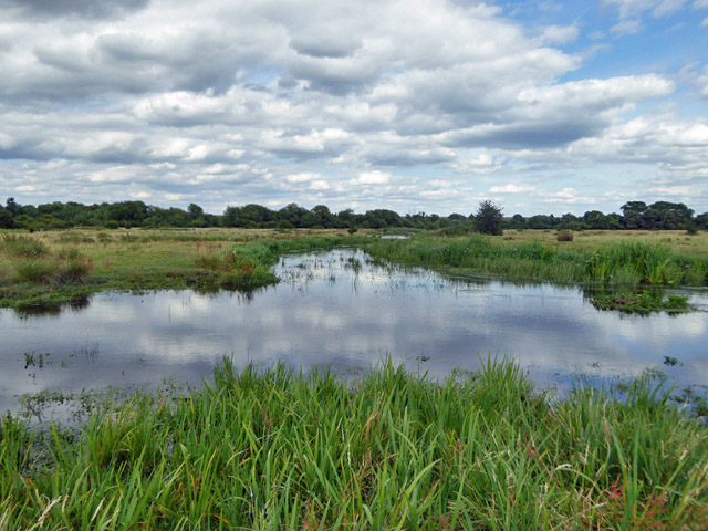
River Colne, Staines Moor
Looking upstream. Staines Moor is a large area of grazed common land. It is an SSSI.
 Map © Crown Copyright")
TIP: Click the map for more Large scale mapping
- Grid Square
- TQ0373, 51 images (more nearby 🔍)
- Photographer
- Robin Webster (more nearby)
- Date Taken
- Friday, 14 July, 2017 (more nearby)
- Submitted
- Wednesday, 26 July, 2017
- Subject Location
-
OSGB36:
 TQ 0318 7339 [10m precision]
WGS84: 51:27.0063N 0:30.9928W - Camera Location
-
OSGB36: TQ 03126 73385
- View Direction
- EAST (about 90 degrees)