2017
SY5299 : Road to Knight's in the Bottom Lakes
taken 7 years ago, near to Hooke, Dorset, England
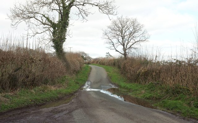
Road to Knight's in the Bottom Lakes
Looking the other way along the road from the same spot as SY5299 : Road to Poorton.
 Map © Crown Copyright")
TIP: Click the map for more Large scale mapping
- Grid Square
- SY5299, 40 images (more nearby 🔍)
- Photographer
- Derek Harper (more nearby)
- Date Taken
- Monday, 13 March, 2017 (more nearby)
- Submitted
- Thursday, 27 July, 2017
- Subject Location
-
OSGB36:
 SY 5299 9913 [10m precision]
WGS84: 50:47.3893N 2:40.0974W - Camera Location
-
OSGB36: SY 5294 9906
- View Direction
- Northeast (about 45 degrees)