2017
SU1242 : A303 near Stonehenge
taken 7 years ago, near to Larkhill, Wiltshire, England
This is 1 of 2 images, with title A303 near Stonehenge in this square
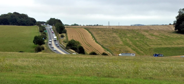
A303 near Stonehenge
The A303 is a main trunk road running 92 miles between Basingstoke and Honiton. Along with the A30 and M3 it forms a major route between London and the South West. Much of the road is dual carriageway, but some stretches remain single and prone to congestion.
Wikipedia: Link
See other images of A303 Road
Wikipedia: Link
See other images of A303 Road
 Map © Crown Copyright")
TIP: Click the map for more Large scale mapping
- Grid Square
- SU1242, 372 images (more nearby 🔍)
- Photographer
- PAUL FARMER (more nearby)
- Date Taken
- Wednesday, 26 July, 2017 (more nearby)
- Submitted
- Thursday, 27 July, 2017
- Subject Location
-
OSGB36:
 SU 1263 4205 [10m precision]
WGS84: 51:10.6529N 1:49.2422W - Camera Location
-
OSGB36: SU 12279 42135
- View Direction
- East-southeast (about 112 degrees)