2017
SD8169 : River Ribble below Helwith Bridge
taken 7 years ago, near to Helwith Bridge, North Yorkshire, England
This is 1 of 9 images, with title starting with River in this square
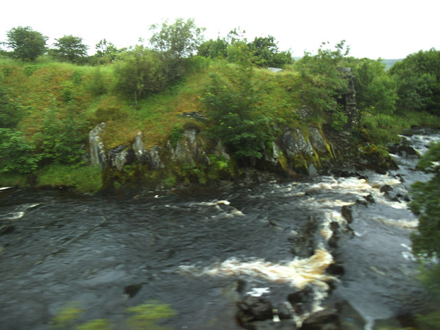
River Ribble below Helwith Bridge
Viewed from a passing train.
River Ribble
The River Ribble is a 75 mile long river that flows through North Yorkshire and Lancashire.
It starts near the Ribblehead Viaduct by the confluence of Gayle Beck and Cak Beck. It enters the Irish Sea south of St Ann's.
Wikipedia: Link
 Map © Crown Copyright")
TIP: Click the map for more Large scale mapping
- Grid Square
- SD8169, 190 images (more nearby 🔍)
- Photographer
- Stephen Craven (more nearby)
- Date Taken
- Tuesday, 4 July, 2017 (more nearby)
- Submitted
- Thursday, 27 July, 2017
- Subject Location
-
OSGB36:
 SD 811 693 [100m precision]
WGS84: 54:7.1745N 2:17.3929W - Camera Location
-
OSGB36: SD 811 693
- View Direction
- Northwest (about 315 degrees)