2017
TM1344 : Graffiti under A14
taken 7 years ago, near to Sproughton, Suffolk, England
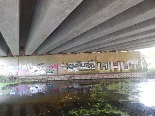
Graffiti under A14
The River Gipping is the name given to the River Orwell above its tidal limit. The River Gipping flows from Stowmarket to Stoke Bridge in Ipswich. Along the River is the Gipping Valley River Path. There are 15 locks on the river most no longer in use, they are the remains of the Ipswich to Stowmarket Navigation.
Wikipedia: Link
See other images of River Gipping
Wikipedia: Link
See other images of River Gipping
 Map © Crown Copyright")
TIP: Click the map for more Large scale mapping
- Grid Square
- TM1344, 102 images (more nearby 🔍)
- Photographer
- Hamish Griffin (more nearby)
- Date Taken
- Friday, 21 July, 2017 (more nearby)
- Submitted
- Friday, 28 July, 2017
- Subject Location
-
OSGB36:
 TM 1303 4476 [10m precision]
WGS84: 52:3.6144N 1:6.3688E - Camera Location
-
OSGB36: TM 1303 4477
- View Direction
- South-southwest (about 202 degrees)