2017
SP4646 : Church Lane, Cropredy
taken 7 years ago, near to Cropredy, Oxfordshire, England
This is 1 of 2 images, with title Church Lane, Cropredy in this square
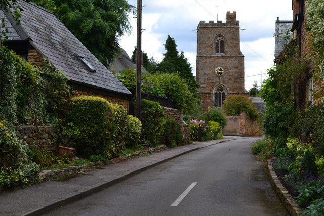
Church Lane, Cropredy
 Map © Crown Copyright")
TIP: Click the map for more Large scale mapping
- Grid Square
- SP4646, 171 images (more nearby 🔍)
- Photographer
- David Martin (more nearby)
- Date Taken
- Sunday, 30 July, 2017 (more nearby)
- Submitted
- Sunday, 30 July, 2017
- Subject Location
-
OSGB36:
 SP 4681 4666 [10m precision]
WGS84: 52:6.9772N 1:19.0679W - Camera Location
-
OSGB36: SP 4676 4667
- View Direction
- East-southeast (about 112 degrees)