SP5006 : Sheepwash Channel, Oxford
taken 7 years ago, near to Oxford, Oxfordshire, England
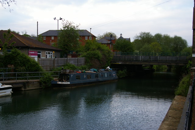
On the left of the picture, the Cooperative childcare site.
The River Thames rises at Thames Head in Gloucestershire on the slopes of the Cotswolds and flows generally eastward to its mouth near Southend in Essex. At 215 miles long it is one of the longest rivers in Britain, and the longest entirely within England. It is one of the most important rivers in Britain. Link

A Narrowboat is a long thin boat, designed to fit the canals of England and Wales. They were 7 feet (2.1 metres) wide, and up to 70 feet (21 metres) in length, the maximum that will fit in a standard lock.
In the 18th century before the age of steam railways and the internal combustion engines, the canals were one of the key systems of transporting goods around the country. The boats were towed by a shire horse walking along the tow-path. Of course boats today are powered by diesel engines.
Most narrowboats today are used for holidays & leisure cruising, and some are used as homes.
Read more at wikipedia Link
 Map © Crown Copyright")
- Grid Square
- SP5006, 1518 images (more nearby 🔍)
- Photographer
- Christopher Hilton (more nearby)
- Date Taken
- Thursday, 4 May, 2017 (more nearby)
- Submitted
- Monday, 31 July, 2017
- Subject Location
-
OSGB36:
 SP 5038 0657 [10m precision]
WGS84: 51:45.3337N 1:16.2915W - Camera Location
-
OSGB36: SP 5035 0656
- View Direction
- East-northeast (about 67 degrees)