2017
TF2071 : Ordnance Survey Cut Mark
taken 7 years ago, near to Wispington, Lincolnshire, England
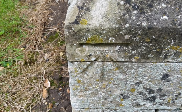
Ordnance Survey Cut Mark
This OS cut mark can be found on the SE face of St Margaret's Church. It marks a point 35.198m above mean sea level.
 Map © Crown Copyright")
TIP: Click the map for more Large scale mapping
- Grid Square
- TF2071, 18 images (more nearby 🔍)
- Photographer
- Adrian Dust (more nearby)
- Date Taken
- Sunday, 23 July, 2017 (more nearby)
- Submitted
- Monday, 31 July, 2017
- Subject Location
-
OSGB36:
 TF 2050 7167 [10m precision]
WGS84: 53:13.7047N 0:11.7802W - Camera Location
-
OSGB36: TF 2050 7167
- View Direction
- Southeast (about 135 degrees)