2017
TA1335 : Former Village School
taken 7 years ago, near to Swine, East Riding of Yorkshire, England
This is 1 of 2 images, with title Former Village School in this square
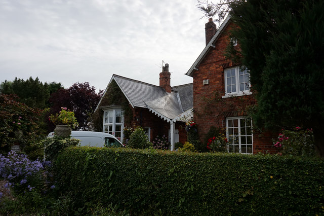
Former Village School
On Dancing Lane, Swine.
 Map © Crown Copyright")
TIP: Click the map for more Large scale mapping
- Grid Square
- TA1335, 89 images (more nearby 🔍)
- Photographer
- Ian S (more nearby)
- Date Taken
- Thursday, 27 July, 2017 (more nearby)
- Submitted
- Tuesday, 1 August, 2017
- Subject Location
-
OSGB36:
 TA 1367 3583 [10m precision]
WGS84: 53:48.3811N 0:16.5208W - Camera Location
-
OSGB36: TA 1366 3583
- View Direction
- East-southeast (about 112 degrees)