2010
TQ1309 : Bridleway north from Cissbury Ring
taken 14 years ago, near to Findon, West Sussex, England
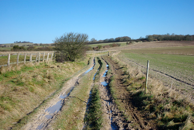
Bridleway north from Cissbury Ring
The clay with flints capping parts of the downs can get very messy in winter.
 Map © Crown Copyright")
TIP: Click the map for more Large scale mapping
- Grid Square
- TQ1309, 35 images (more nearby 🔍)
- Photographer
- Robin Webster (more nearby)
- Date Taken
- Monday, 1 March, 2010 (more nearby)
- Submitted
- Wednesday, 2 August, 2017
- Subject Location
-
OSGB36:
 TQ 1384 0919 [10m precision]
WGS84: 50:52.2607N 0:23.0100W - Camera Location
-
OSGB36: TQ 13843 09167
- View Direction
- North-northeast (about 22 degrees)