2017
ST4400 : Lane to Four Ashes
taken 7 years ago, near to Stoke Abbott, Dorset, England
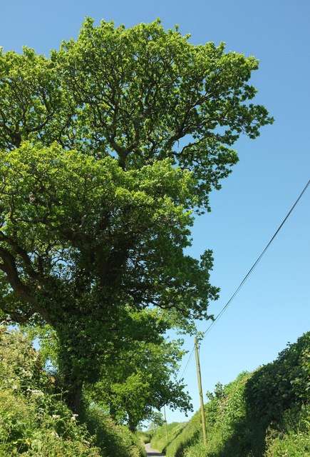
Lane to Four Ashes
A tall oak overhangs the Jubilee Trail on this lane climbing from Brimley Farm to the crossroads shown in ST4300 : Four Ashes.
 Map © Crown Copyright")
TIP: Click the map for more Large scale mapping
- Grid Square
- ST4400, 30 images (more nearby 🔍)
- Photographer
- Derek Harper (more nearby)
- Date Taken
- Friday, 26 May, 2017 (more nearby)
- Submitted
- Thursday, 3 August, 2017
- Subject Location
-
OSGB36:
 ST 4430 0030 [10m precision]
WGS84: 50:47.9742N 2:47.5044W - Camera Location
-
OSGB36: ST 4432 0031
- View Direction
- WEST (about 270 degrees)