2017
ST4600 : Farmland east of Stoke Abbott
taken 7 years ago, near to Stoke Abbott, Dorset, England
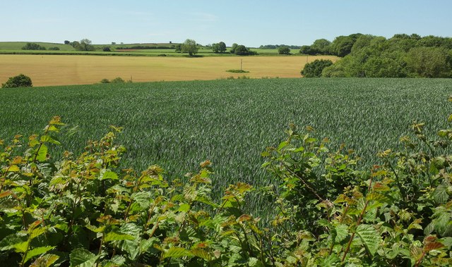
Farmland east of Stoke Abbott
Looking right from where ST4600 : Roadside verge by Long Barrow Lane was taken and left from ST4600 : Lane to Stoke Abbott.
 Map © Crown Copyright")
TIP: Click the map for more Large scale mapping
- Grid Square
- ST4600, 21 images (more nearby 🔍)
- Photographer
- Derek Harper (more nearby)
- Date Taken
- Friday, 26 May, 2017 (more nearby)
- Submitted
- Thursday, 3 August, 2017
- Subject Location
-
OSGB36:
 ST 4604 0059 [10m precision]
WGS84: 50:48.1406N 2:46.0257W - Camera Location
-
OSGB36: ST 4609 0067
- View Direction
- South-southwest (about 202 degrees)